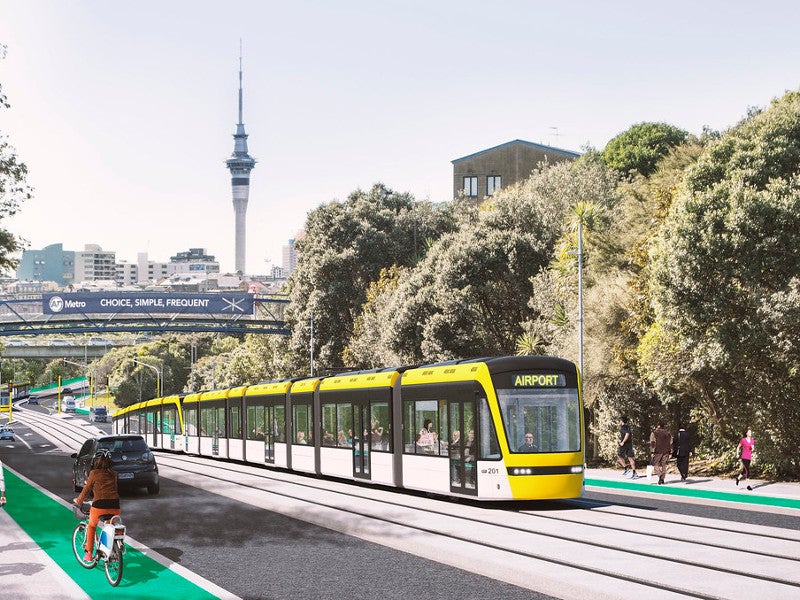
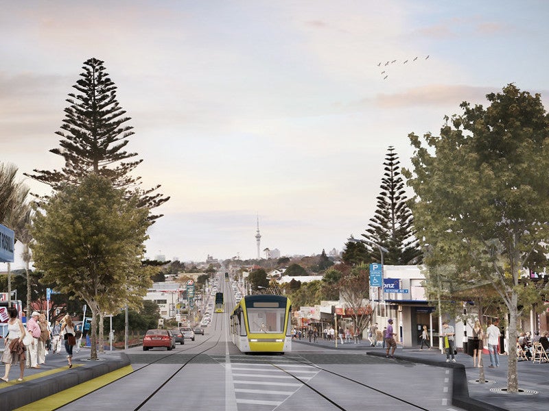
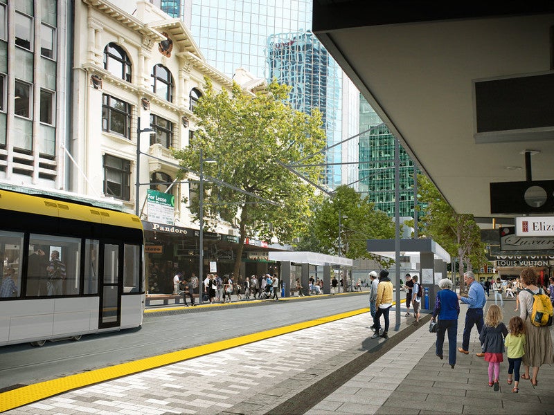
The Auckland Light Rail project is a proposed light rail network to be built in Auckland, New Zealand.
The project is being developed by NZ Transport Agency along with its partners Auckland Council, Auckland Transport, and HLC.
Auckland Light Rail will create an integrated public transport system by connecting different modes of transportation in the city, including light and heavy rail, as well as buses and ferries.
The light rail network is being developed to support the country’s growing population, which is expected to reach two million by 2030.
A sum of $1.8bn has been committed by the Government of New Zealand for the project under the Auckland Transport Alignment Project (ATAP), which is supported by the Government Policy Statement (GPS) on Transport.
Auckland Light Rail will act as a companion project to the City Rail Link (CRL) project, which is a twin-tunnel underground rail link below Auckland city centre.
It will become New Zealand’s first light rail project once operational by 2028.
Auckland Light Rail project details
The Auckland Light Rail network will run from the city centre to Māngere, Onehunga, and Auckland Airport. It also involves a light rail corridor from the City Centre to Northwest Auckland.
The first phase of the project will involve the construction of a 23km-long line between City Centre and Mangere (CC2M), while City Centre to North-west line will be developed in the next phase.
The CC2M line will connect Queen Street in Auckland’s city centre, Dominion Road, Mount Roskill, Onehunga, and Mangere to Auckland Airport.
The network will link Wynyard Quarter and Auckland city centre with the Isthmus suburbs while passing through 13 stations. It will run between SH 20 state highway and Wynyard Quarter via Dominion Road.
The proposed City Centre to North-west line is expected to follow Highway 16 between the city centre and Kumeu / Huapai. Additional route alternatives for the track are still being assessed and will be selected based on the current SH16 state highway corridor, land usage, growth of the north-west area, and the overall proposed transport network.
The light rail section up to Mt Roskill is expected to be built in four years, while the lines to the airport and West Auckland will be completed in ten years. The light rail network to the North Shore will be constructed in the next decade.
Auckland Light Rail project features
The project incorporates a utilities clash detection interactive model, which is a new automatic system to detect clashes. It was developed by Arup by applying a machine-learning algorithm to the system that consolidates asset information of existing utilities into a common data environment for reducing the number of clashes on the proposed route alignment.
Design standards being incorporated for the project include Te Aranga Design Principles, Auckland Design Manual, Roads and Streets Framework (RASF), and Auckland Transport’s Traffic Design Manual (TDM).
Auckland Light Rail benefits
The project will also take urban planning into consideration for housing and urban development along the future light rail corridor, providing better access to jobs and education. HLC will develop housing in Mt Roskill as part of the project.
Auckland Light Rail will offer connectivity with other modes of transportation for improved accessibility across the city and will reduce the burden on bus transportation.
It is expected to operate mostly on existing roads at street level and will produce zero emissions.
The project will also improve the village centres at Eden Valley and Balmoral to make them pedestrian-friendly.
The Auckland Light Rail project will improve the walking, cycling, and public spaces across the network, providing sustainable transport for the citizens.
Contractors involved
LandLAB, in partnership with JASMAX, developed the urban design framework (UDF) and reference design for the project. LandLAB is a design studio based in New Zealand.
Arup and Jacobs Engineering developed an indicative reference design for a section of the project.


