Ingegneria Dei Sistemi (IDS) is an independent engineering company, which operates in defence and civilian fields. It was established in 1980 and has around 400 employees.
The geo-radar division is a leading supplier of ground-penetrating and interferometric radar solutions dedicated to railways.
Much of the track renewal and maintenance work undertaken on rail networks all around the world is caused by poor ballast below the track and uncertain decision making on when, where and how to act with remedial engineering works.
Safe rail system for inspecting railway ballast and sub ballast
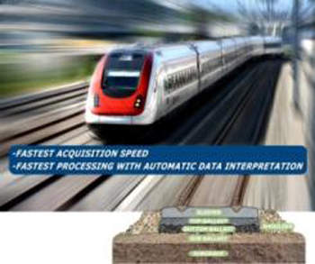
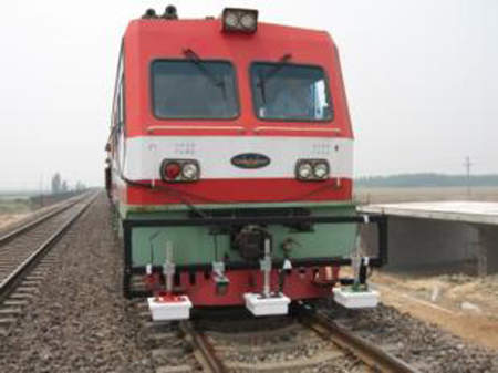
The IDS SafeRailSystem represents a fast and non-destructive solution for inspecting railway ballast. It allows the user to autonomously inspect railway ballast for renewal and maintenance. This high-speed radar system (more than 300km/hr) is made of three or four antennas and can be easily mounted on any rail carriage or locomotive safe rail system. It includes user-friendly post-processing software for interpreting radar data easily and efficiently. Features include:
- Continuous mapping of ballast thickness
- Location of areas with poor bearing capacity (e.g. ballast pockets)
- Differentiation between clean and fouled ballast
- Detection of drainage problems
IDS’ innovative use of its SafeRailSystem means a reduction in the current cost of under track investigation, maintenance and renewal of ballasts, an improvement in the specification of maintenance, so less reworking, a reliable calculation of investments and an improvement of maintenance quality.
Railway tunnel monitoring systems
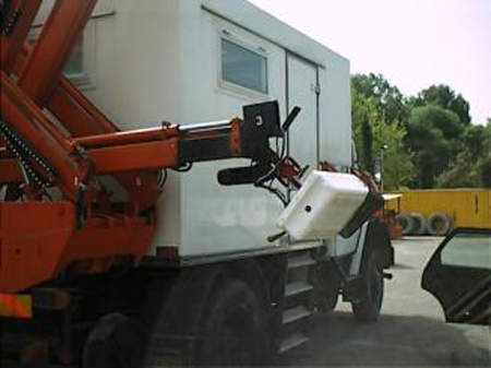
IDS supplies customised solutions for the monitoring of the state of railway tunnels through multi-channel and multi-frequency antennas towed by hand or installed on dedicated hydraulic arms.
The benefits of customised solutions for monitoring railway tunnels include:
- Continuous mapping of concrete covering and reinforced bars
- Location of cavities behind the concrete covering
- Location of tunnel ribs
- Locating of water infiltration
- Location of voids and delaminations
- Location of fractures
Ground-based radar interferometry instruments
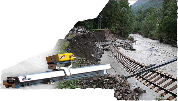
Monitoring of slopes and structural movements is an essential requirement in order to prevent accidents and interruptions of service.
IBIS is a family of innovative instruments based on ground-based radar interferometry. It is a revolutionary approach, which can be used in almost all weather conditions and provides the end users with accurate remote measurements whilst avoiding any contact with the target.
IBIS-S introduces a totally new solution in the field of static and dynamic tests of bridges. It can perform a continuous, real-time mapping of the displacements of the entire monitored structure with sub-millimetre accuracy.
The main benefits of IBIS-S are:
- Range at a distance of up to 500mt
- Displacement accuracy up to 1/100mm
- Real-time one-dimensional simultaneous mapping of all displacement detected on the structure
- Fast installation and operation
- The same instrument can be used for static and dynamic acquisition
- Structural vibration sampling up to 100Hz
- Operates from day to night and in all weather conditions
Geodetic instrument for continuous landslide monitoring
IBIS-L is an innovative geodetic instrument for continuous landslide monitoring from day to night and in all weather conditions. It is capable of monitoring large portions of territory by measuring in real-time the local displacements of all the points across the scene with sub-millimetre accuracy.
The main advantages of IBIS-L over traditional techniques are:
- Remote sensing up to 4km
- Displacement accuracy up to 1/10mm
- Real-time two-dimensional mapping of simultaneous displacements over large areas (several squared kilometres)
- Sampling movements every five minutes
- Autonomous operation
- Operates day and night and in all weather conditions


